Curriculum Page
This collection of lessons is designed to introduce and use GIS as a tool for middle school science and mathematics. These classroom-tested activities combine fundamental content with cutting-edge technology and help students see the power of spatial thinking in analysis and decision-making. The collection is authored by Ms. Barbaree Ash Duke and edited by Dr. Bob Kolvoord. Please e-mail Bob Kolvoord with questions/suggestions. Download an overview for a timeline for classroom use.
TEACHING GIS SKILLS
These lessons were created to teach content using GIS as a tool. If you want to teach GIS skills specifically, you may want to use other resources before you do the GIS lessons in the collection. AEJEE has a set of “how-to” of lessons installed with it. Within AEJEE, select the Help Contents from the Help menu. The *.pdf document will appear for you to use with your students. You may also want to peruse the collection of activities available at the ESRI Education Community’s ArcLessons site (www.esri.com/arclessons).
LESSON LEVELS
Not all lessons are created equal. Some are a great first time GIS experience and require no introduction, but others lessons do. We have tested these activities in the classroom with students of many ages. We offer these recommendations but you’re welcome to customize the lessons to suit your level of GIS experience.
Level 1 – suitable as a first-time GIS experience
Bats in the Neighborhood: Friend or Foe?
Hunting for the Best Cabela's Location
Invasive Species: Attack of the Animals
Invasive Species: Attack of the Plants
Level 2 – best after a prior introduction to GIS
We are the World: A Look at Demographics
Production and Consumption: The Give and Take of Energy
Disaster Strikes
Should You Drink the Water?
Watersheds: Why bother?
Level 3 – best after more than one experience with GIS
What’s Your Carbon Footprint?
Can You Grow Money?
Survivor: The Agricultural Challenge
DATA
We have included all the data necessary within the zipped lesson file. However, you may want additional general data that we did not include with a lesson. With a regular installation of AEJEE or ArcMap, data is included on the hard drive. On a Windows machine, the data is located for AEJEE at C:\ESRI\AEJEE and for ArcMap at C:\ESRI\ESRIDATA. On a Macintosh, the data is located in the DATA folder inside the ESRI\AEJEE folder. In that folder you’ll find a USA folder and a WORLD folder. Included in the USA data collection are cities, counties, elevation, interstates, lakes, rivers and states. In the WORLD folder you’ll find cities, countries, elevation, faults, geographic lines, lakes, latitude and longitude lines, tectonic plates, rivers, earthquakes 2001-2005, precipitation, temperature, vegetation, volcanoes and a world grid. In addition to these installed files, ArcMap is shipped with a CD/DVD collection of data that you may wish to explore as well.
COLLECTION GROUPS
The curriculum collection contains groupings of activities that can be used to create a more in-depth curricular experience for your students. If you don’t have time for multiple lessons, they are all created to be used independently.
Disasters
Disaster Strikes
Survivor: The Agricultural Challenge
Economics
Hunting for the Best Cabela's Location
Can You Grow Money?
We are the World: A Look at Demographics
Environmental and Global Warming
Production and Consumption: The Give and Take of Energy
Should You Drink the Water?
Watersheds: Why bother?
What’s Your Carbon Footprint?
Survivor: The Agricultural Challenge
Plants and Animals
Bats in the Neighborhood: Friend or Foe?
Invasive Species: Attack of the Animals
Invasive Species: Attack of the Plants
Diseases |
|
|---|---|
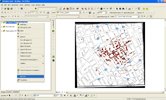 |
The .zip files below contain three disease-related activities: H1N1 ("Swine flu"), Tuberculosis (TB) and Cholera. Your students can explore the spread of all three diseases or just focus on one with your class. The Cholera activity features the legendary work of Dr. John Snow in London in the 1850's. Each .zip files contains all data and documents for the activities. |
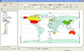
World Piracy |
|
|
In this activity, students learn about the locations of pirate attacks around the globe and the local economic conditions that led to the outbreak of piracy. |
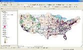
Cabela's Activity |
|
|
In this activity, students use GIS to find the ideal location for a new Cabela's outdoor gear store in Virginia. |
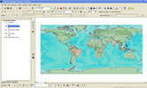
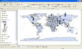
World Demographics |
|
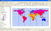 |
In this activity, students use GIS to explore the economies and standards of living of countries across the world. |
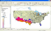
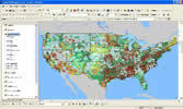
Disasters |
|
 |
In this activity, students use GIS to explore the impact of natural disasters, including hurricanes, tornadoes, earthquakes, etc. on their local area. They also explore which health care facilities are important in the case of disaster. |
Energy |
|
 |
In this activity, students use GIS to explore the production and consumption of energy by countries around the world. By comparing energy use of different types, students explore energy sustainability. |
Drinking Water Activity |
|
 |
In this activity, students use GIS to explore the source and quality of drinking water in their community by investigating local aquifers. They'll use the concentration of Arsenic and EPA-listed toxic discharge sites to help them compare the quality of their water with drinking water across the U.S. |
Watersheds |
|
 |
In this activity, students use GIS to explore their watershed and how that watershed relates to other watersheds. This is a good follow-on to the water quality activity above. |
Carbon Footprint |
|
 |
In this activity, students use GIS to explore the concept of carbon footprint and the its relationship to the population and size of different countries. It is part of the Environment series of activities. |
Bats in the Neighborhood |
|
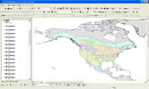 |
In this activity, students use GIS to explore the habitats of bats in their state or region and compare/contrast the different species of bats. It is part of the Environment series of activities. |
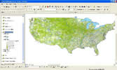
Survivor Agriculture |
|
 |
In this activity, students use GIS to explore the agriculture productivity of their state and determine if it could support the state's population in the wake of a large-scale disaster. Students also compare and contrast their state with neighboring states. It is part of the Environment series of activities. |
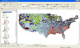
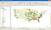
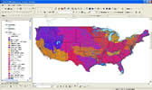
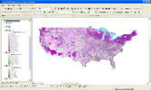
Farm Economics |
|
 |
In this activity, students use GIS to explore the agriculture economics of their state and county and discover where high sales farms are located across the U.S. The students also construct a plan for creating a viable farm locally. It is part of the Environment series of activities. |
Invasive Species |
|
Animals Plants |
This pair of activities focus on the spread of invasive plant and animal species in different parts of the USA. Students map the spread and predict what other areas are at risk. The activities can be done independently or as a pair. This is the final entry in the Environment sequence of activities. Invasive Animals Invasive Plants |